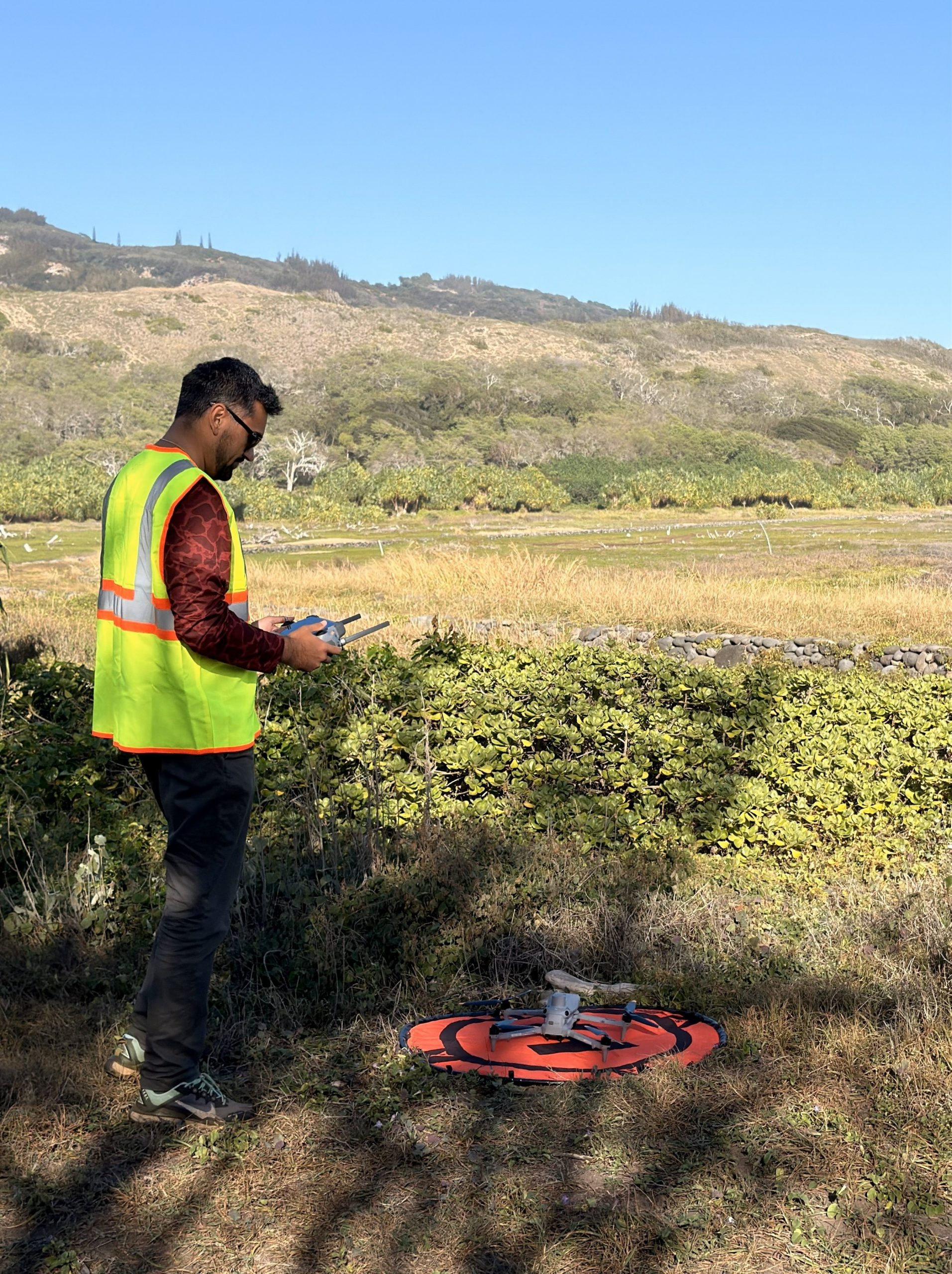
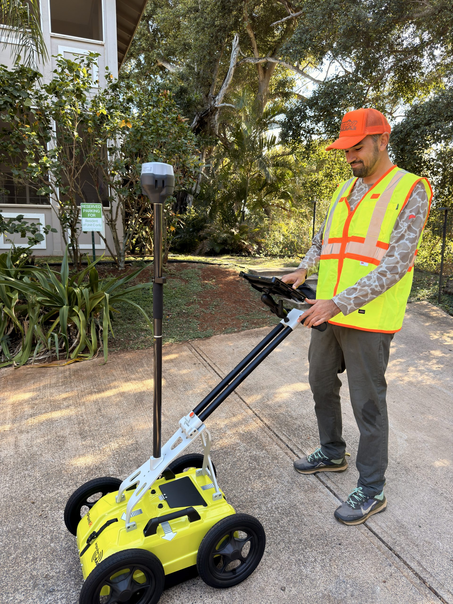
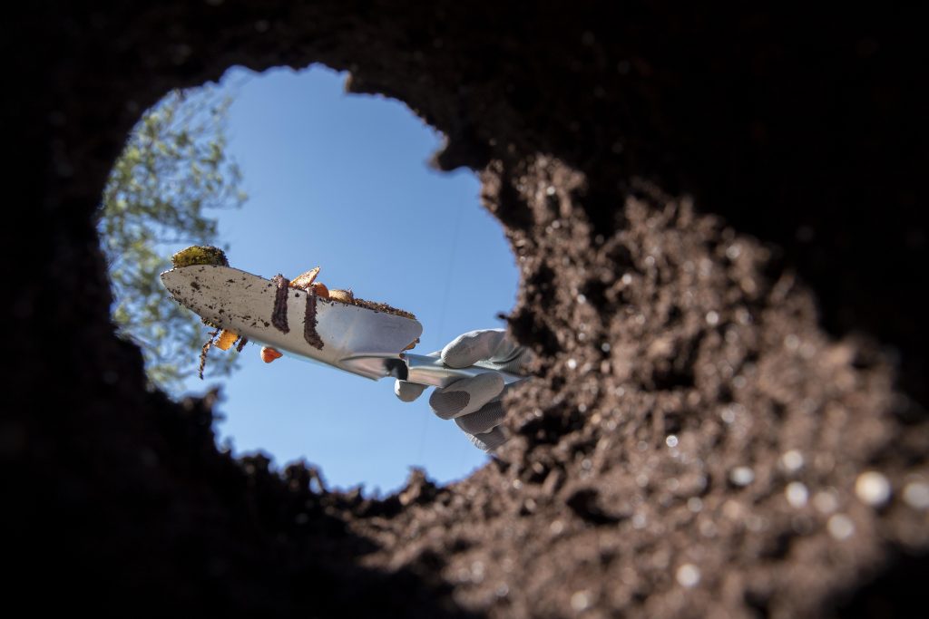
Maui 📍
We locate cesspools before property sales and digging to keep inspections, disclosures, and excavation safe and on track
We locate underground electric, water, sewer, gas, and communications
Magnetic locating to find buried ferrous objects such as steel pipes, tank lids, rebar, valve boxes, and survey pins.
We locate buried irrigation lines and components to help prevent damage during digging, landscaping, or property improvements.
High-resolution RTK drone mapping and orthomosaic imagery to provide accurate site visuals for planning, documentation, and development
Detailed topographic maps and 3D site models that capture elevation, slope, and terrain for smarter design and construction decision
We map major tree roots around homes and streets to identify potential foundation risks and determine when removal or mitigation may be necessary.
We use RTK-enabled GNSS equipment to deliver highly accurate measurements and maps for property planning, construction, and documentation.
ʻImi Systems provides professional subsurface locating and high-accuracy mapping services to help homeowners, contractors, and property professionals make informed decisions before digging, building, or selling. Using advanced detection methods, RTK-enabled positioning, and aerial mapping, we identify what is below and above the surface with clarity and precision. Our services support safe excavation, foundation protection, irrigation planning, pre-sale inspections, and site documentation, reducing risk, avoiding costly surprises, and keeping projects moving forward with confidence across Maui.
Accuracy depends on the service, but our RTK-enabled mapping provides centimeter-level positioning, and all locating methods are selected based on site conditions to deliver reliable, actionable results.
Most projects can be scheduled within 48 hours, depending on location, scope, and site access.
No locating method can guarantee detection of every underground object, but using multiple complementary techniques significantly improves reliability and reduces uncertainty compared to visual inspection alone.
Yes. We can mark located features on-site and provide photos, maps, or digital documentation depending on the service and client needs.
We offer subsurface locating and mapping services including utility locating, cesspool locating, irrigation line locating, ground penetrating radar scanning, magnetic locating, tree root mapping for foundation protection, RTK mapping, and drone-based aerial mapping.
Our clients include homeowners, contractors, landscapers, real estate professionals, and property managers who need accurate information before digging, building, renovating, or selling a property.
There are an estimated 400,000 to 800,000 utility strikes each year with an average direct repair cost of $4,000 not including indirect costs like service disruptions property damage and project delays.
Yes. Many homeowners and real estate professionals hire us to locate cesspools, utilities, and other subsurface features before inspections or disclosures to avoid last-minute issues during a sale.