Maui 📍

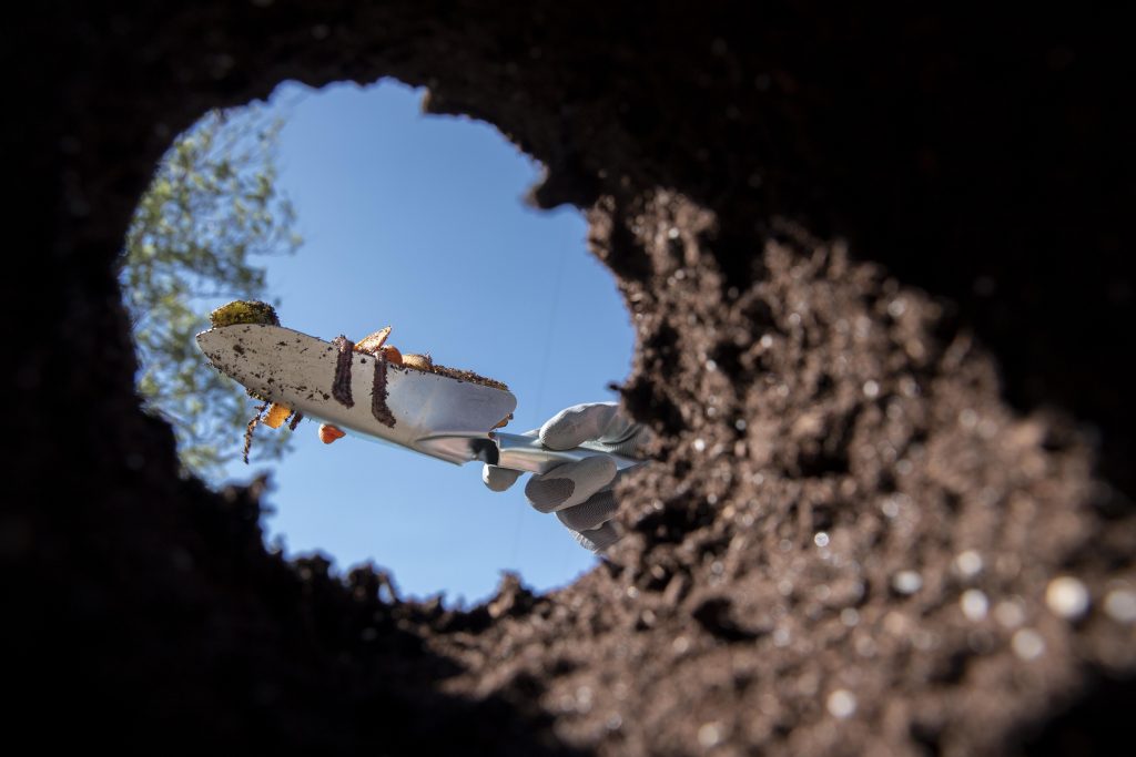
Locating cesspools, septic tanks, leach fields, and associated components for real-estate, upgrades, and excavation.

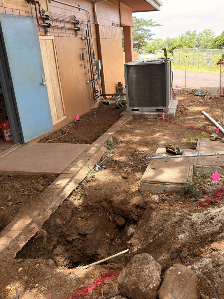
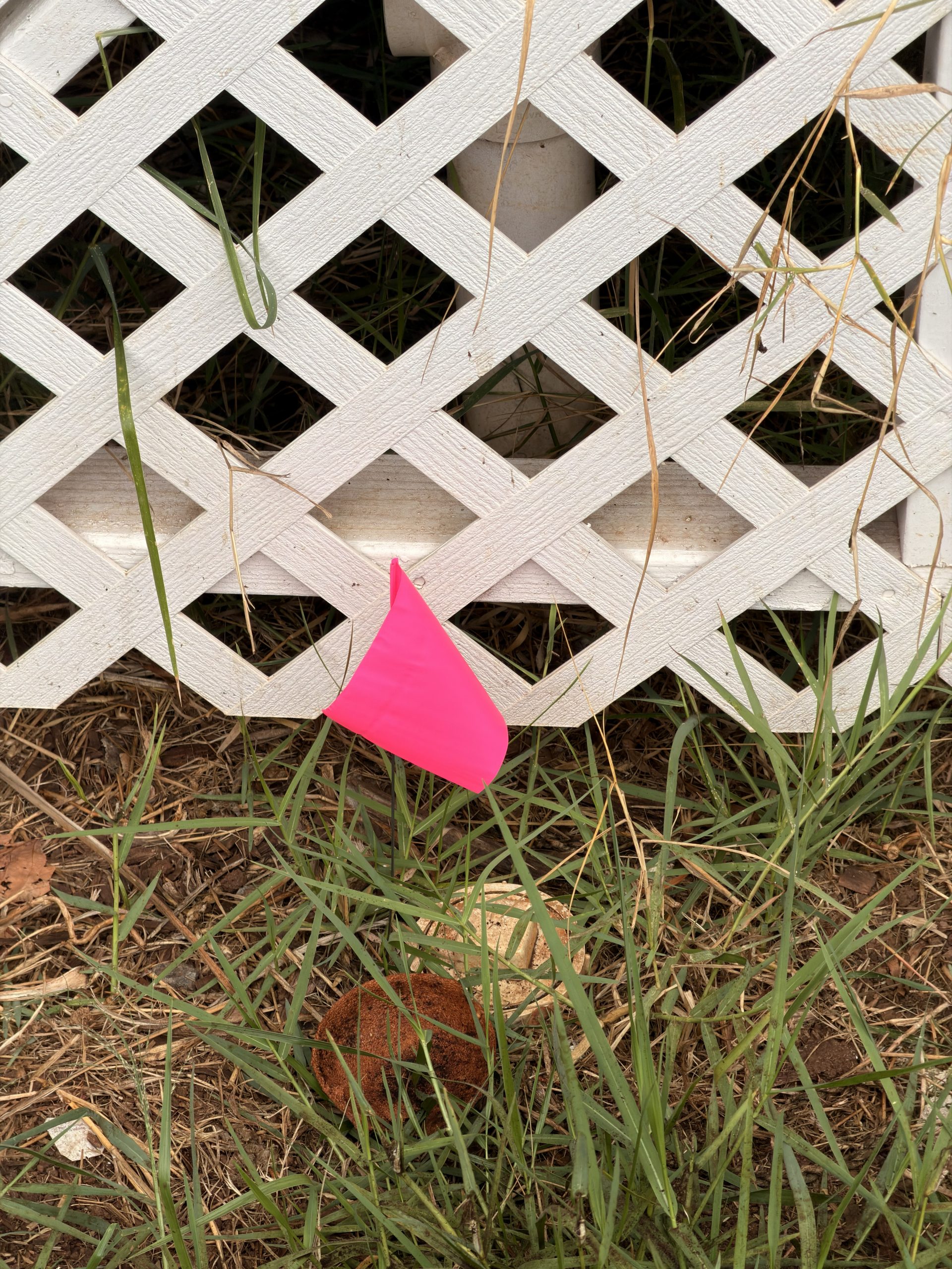
Locating underground electric, water, gas, and communication lines using electromagnetic and sonde detection methods to reduce risk before excavation

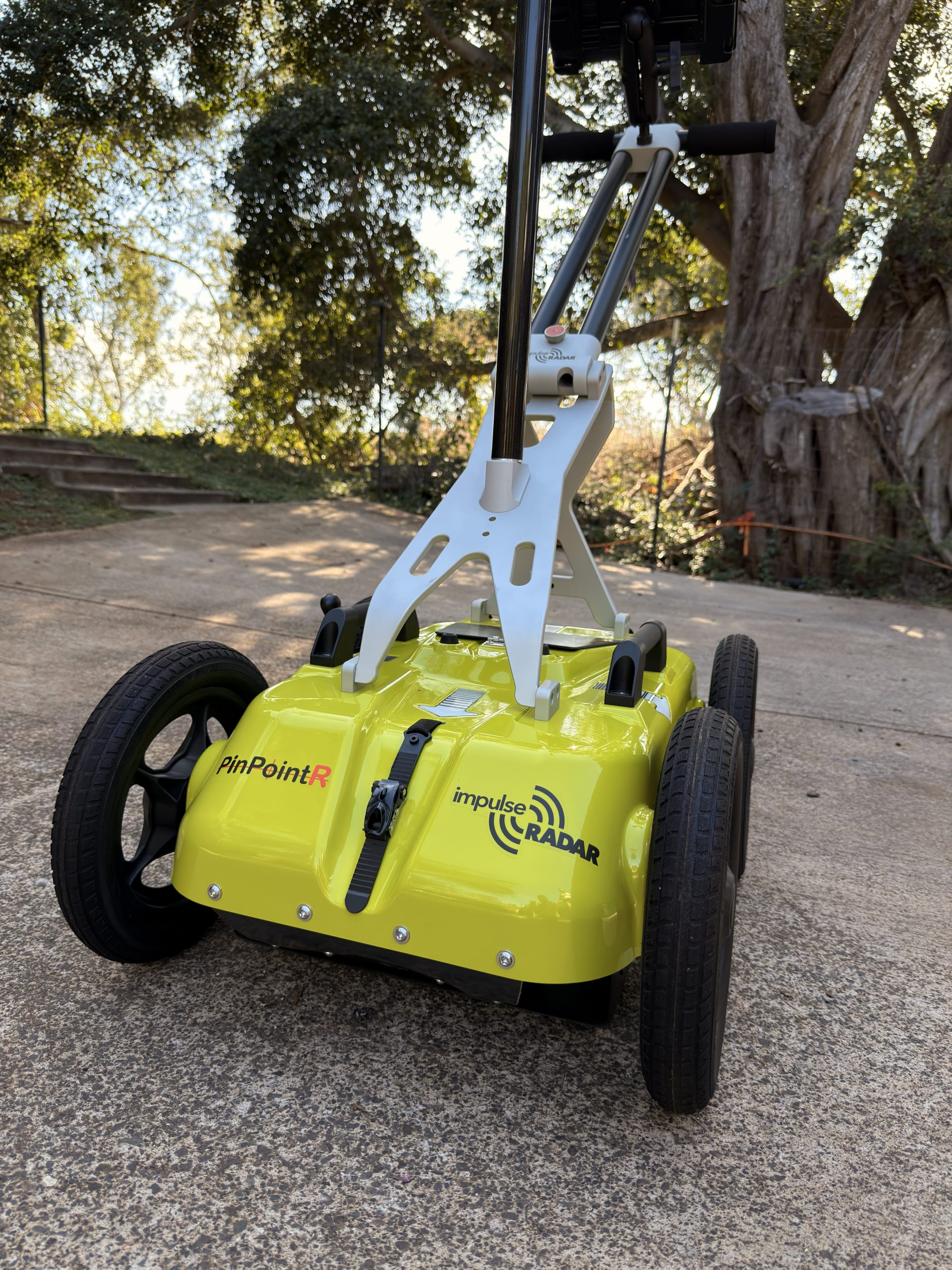
Non-destructive GPR scanning to detect subsurface features such as tanks, voids, piping, voids, and unknown structures.
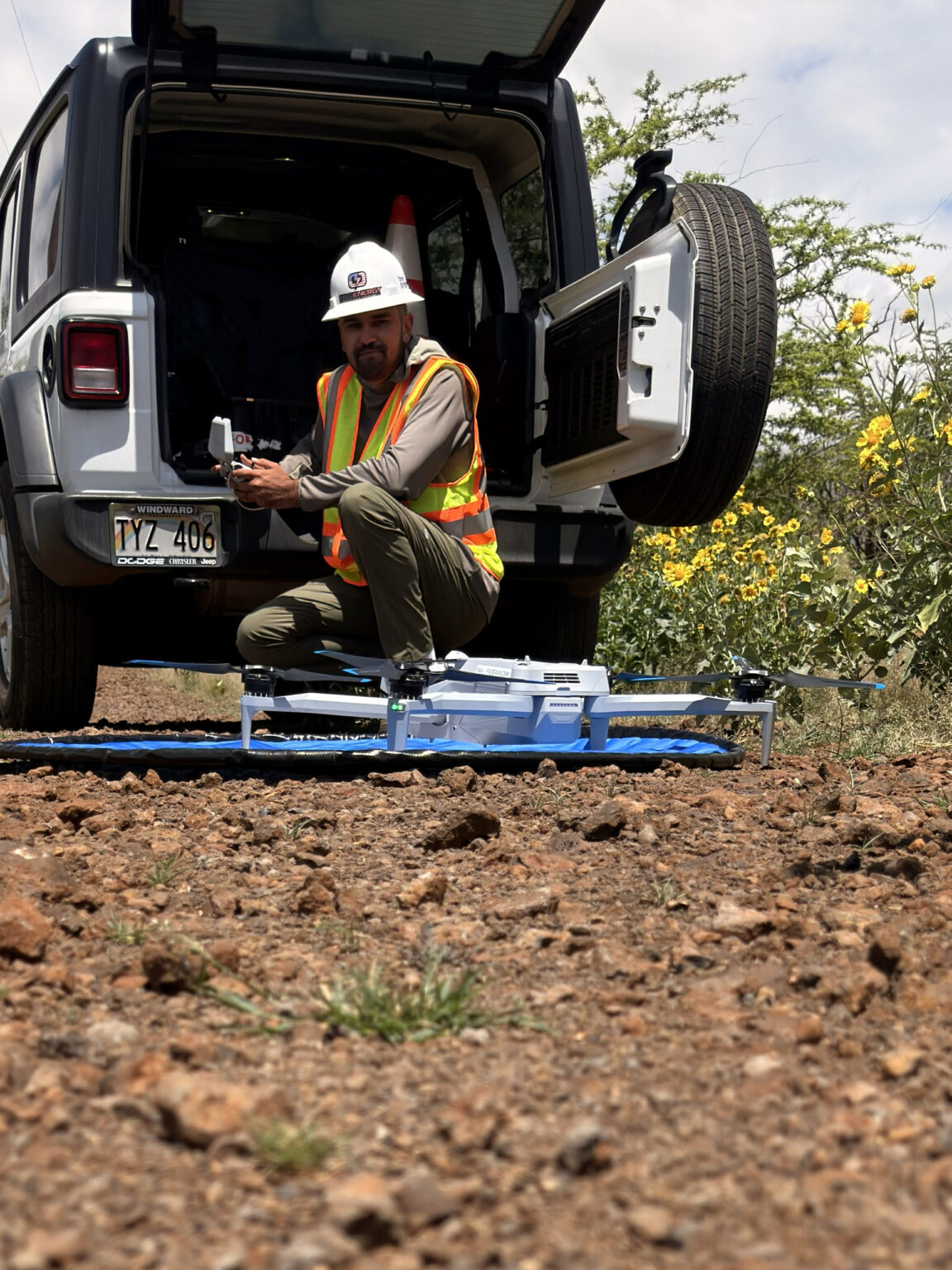
High-accuracy drone surveys producing topographic models and orthomosaic imagery to support planning, design, and site documentation.
IMI comes from the Hawaiian word ʻimi, meaning to search, seek out, or investigate. It reflects a deliberate, methodical approach to understanding what lies beneath the surface before decisions are made.
IMI Systems applies this principle through professional subsurface locating and mapping, using advanced detection and mapping technologies to uncover hidden conditions below ground. Built in Hawaiʻi and shaped by its complex terrain, our work is focused on clarity, accuracy, and reducing risk so projects can move forward with confidence.
Avoid broken utilities, emergency repairs, delays, and liability.
Our subsurface utility locating helps you identify what’s below ground before you dig, protecting your budget and timeline.
Many Hawaiʻi properties lack accurate records, especially older homes, ag land, and rural lots.
We help uncover and map what exists, where it runs, and how deep it is, giving you confidence to move forward.
Knowing where a line is matters, but knowing how deep it is changes everything.
We provide depth estimates and mapped locations to support safer excavation and planning decisions.
When you need answers, waiting weeks isn’t an option.
Most projects are scheduled within 48 hours. We service properties private and commercial across the island of Maui.
Examples of recent Maui work focused on finding, mapping, and documenting what’s on and below the ground.